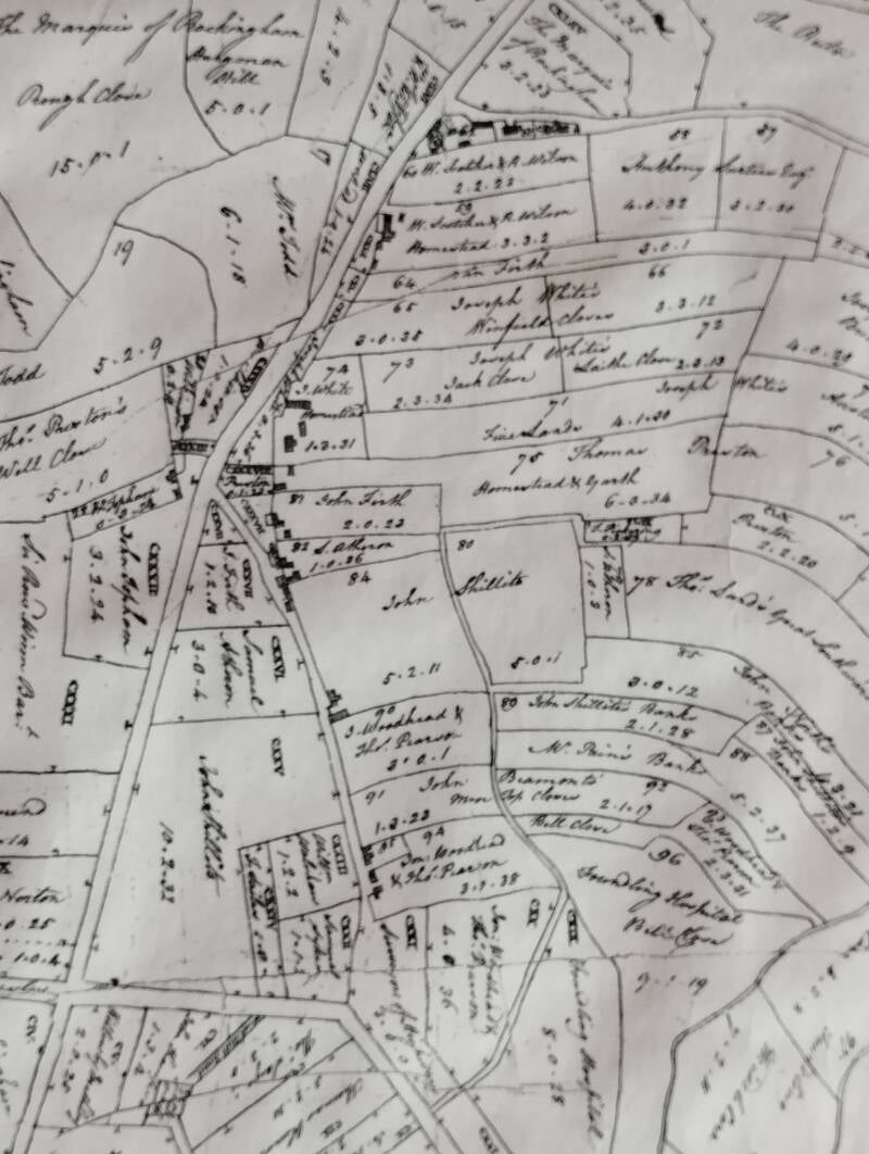
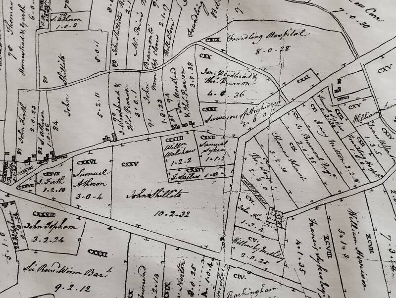
Thought to be from around 1800, these first map images show land ownership (Supplied by Ken Reeve)
1828 Notice the windmill near the crossroads (now roundabout) and where later would be Mill Lane leading down to the Corn MIll and Dam. A good reason to name the road 'Mill' Lane. Interestingly Nostell Park is spelt as today, but the 'Hall' and lake are spelt 'Nostal'
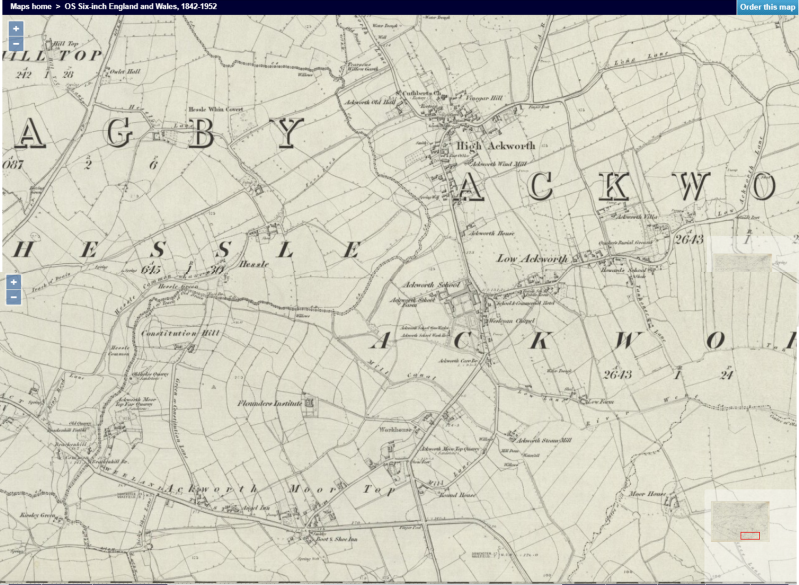
1842-52
1890
1907
1910 with light railway (Now Dandos Way)
1932 Written on in red to show land / quarry owners.


